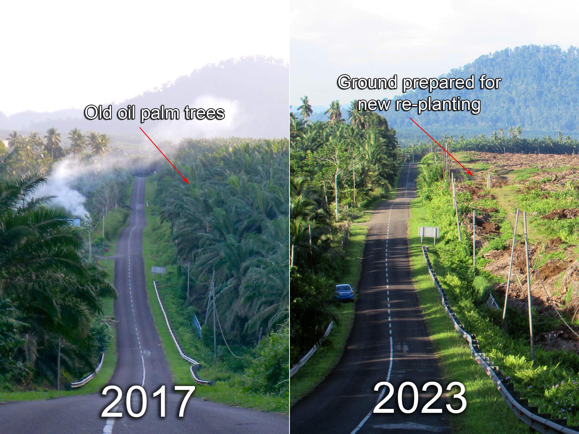
Old oil palm trees
Ground prepared for new re-planting
HOME > Tawau Hills Park > Maps of Tawau Hills Park
Old oil palm trees
Ground prepared for new re-planting

Cinta Mata Water Treatment Plant
Tawau Hills Park was gazetted to protect water
catchments resources for Tawau Town. At least 7 major
rivers originate at this park. The Tawau River flows through the middle of the 27,972 ha
Hills Park and forms many natural deepwater pools and waterfalls inside the
park. The above Water Treatment Plant is located 5 Km from Tawau Hills Park.
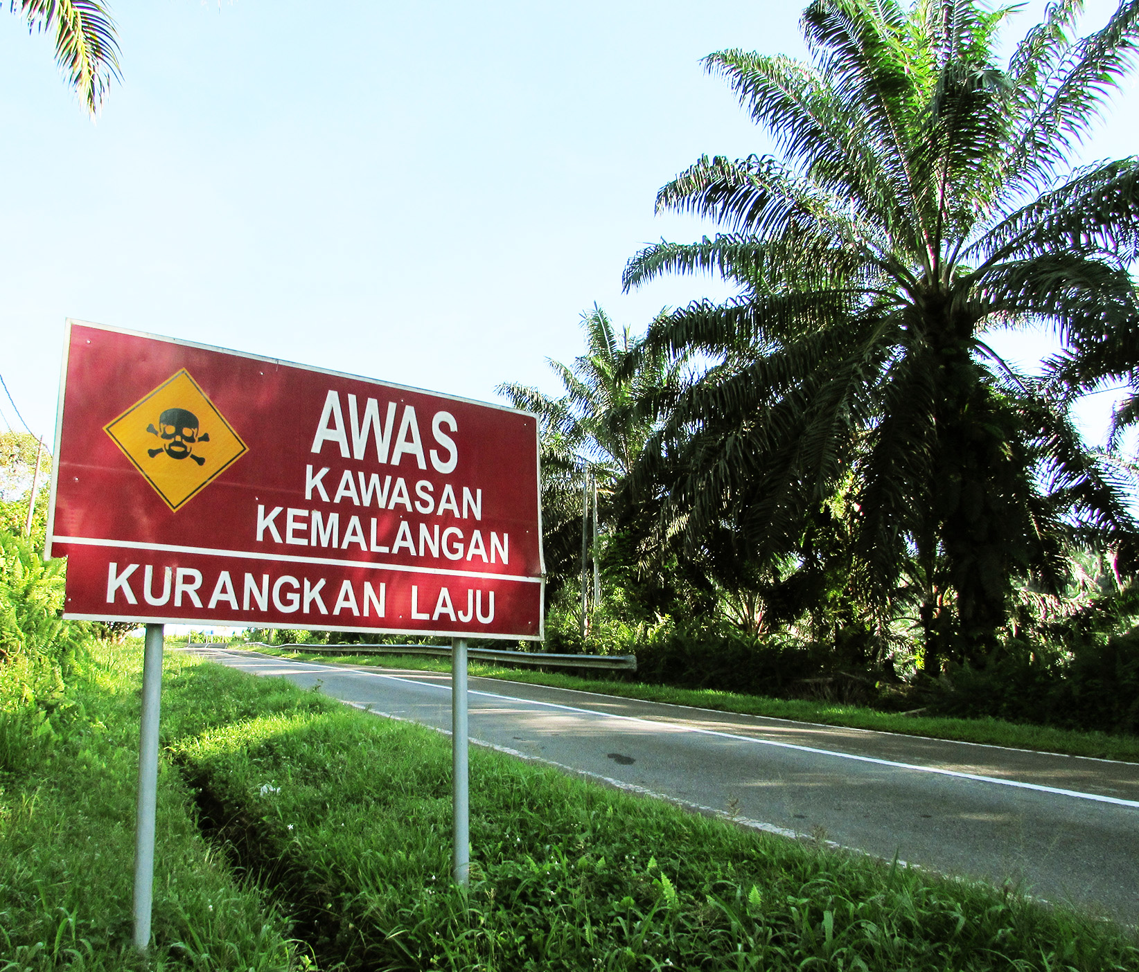
AWAS KAWASAN KEMALANGAN
KURANGAN LAJU
"BEWARE OF ACCIDENT PRONE AREA"
Traffic sign before a hill slop "T" junction few km before arriving the
Park. The sign means "Accident prone area" "Reduce speed"
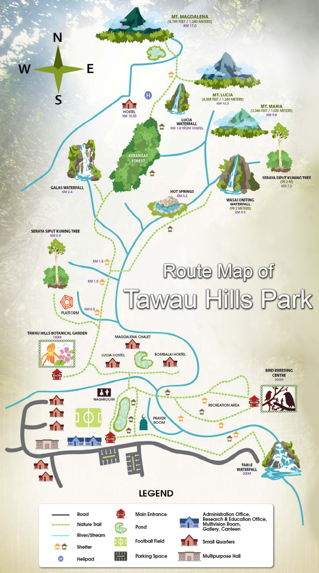
Route Map of Tawau Hills Park
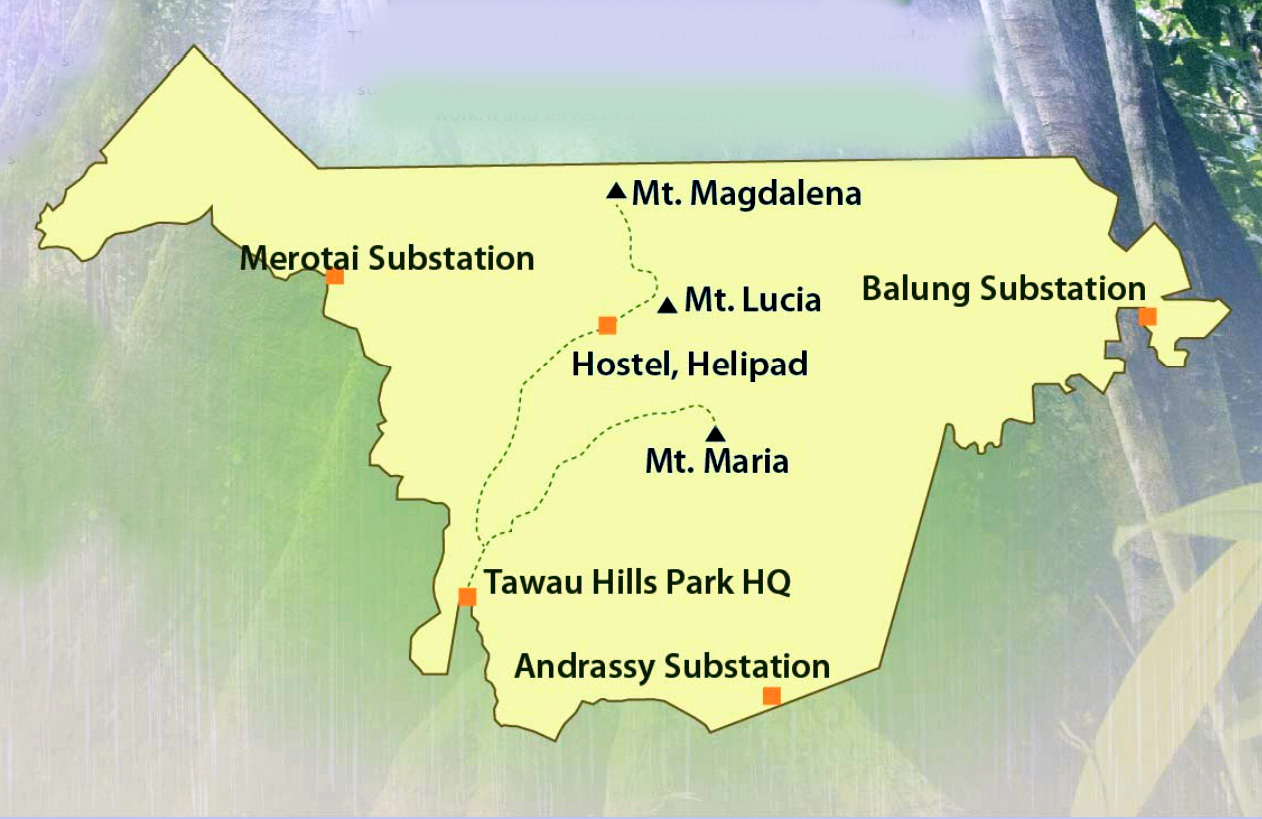
Three substations as ranger stations for enforcement works, research and
monitoring:
1- Balung Substation on the eastern boundary
2- Merotai Substation on the western boundary
3- Andrassy Substation on the south boundary


Maps showing the location of Tawau Hills Park


RELATED TOPICS
|
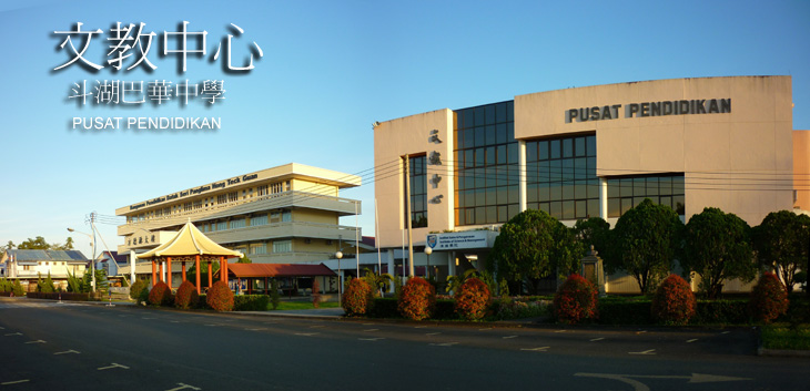
GO FURTHER FLORA Borneo has 150 species of wild fig trees. Most of them are found in forests of Sabah. FISHERIES Prawn farming is a main commercial activities in Tawau. Spawners from Tawau are graded the best in Malaysia. For decades, Tawau has been exporting high-grade tiger prawns to several countries such as Korea, Japan, Taiwan, China, Vietnam, Singapore, Egypt and Australia......... Malaysia school system is structured on a 6+3+2+2 model. Starting with 6 years of compulsory primary education beginning at age seven, followed by 3 years of lower secondary education, 2 years of upper secondary, and 2 years of pre-university senior............. |
|
|
PLACES OF INTEREST |